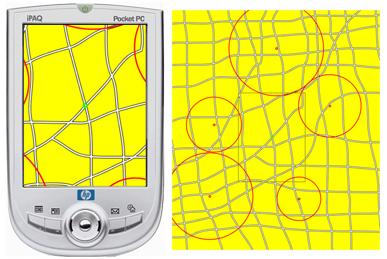
Halo
The portability of the device is advantageous for location-aware
services and personal navigation. However, profiles due to limited
screen size still arise when showing full-scaled maps and in selecting a
preferred destination on the map. Some techniques have been proposed to
express the location of a given destination outside the viewport. These
techniques work well for understanding location and orientation of the
destinations, but do not consider the distance of the path. We propose
AwarePath, a technique to express location, orientation and distance for
surrounding destinations by best route thumbnails. Compared to the Halo
technique when looking at destination selecting tasks which consider
route distances, AwarePath can additionally offer path information by
preserving conventional characteristics of providing both linear
distance and orientation of destinations presented in Halo. Thus our
technique is effective to add extra data for considering best route
especially for walkers.
Halo
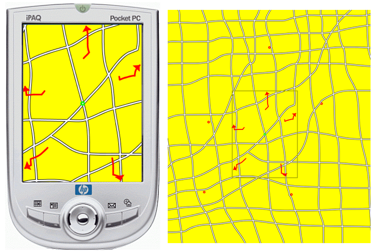
AwarePath